Innovative training, cutting-edge technology, and hands-on experience, enabling professionals to unlock their full potential and lead in the dynamic world of geomatics and spatial data.
Empowering Growth Through Online Courses
3D-tricks Vision
To be a global leader in providing innovative, hands-on training and solutions in geomatics, empowering professionals to shape the future of spatial data and technology.
4o mini
3D-Tricks Mission
Our mission is to empower professionals with advanced knowledge and practical skills in geomatics and surveying technologies, driving innovation and excellence in the field.
Master new skills at your own pace with our top-rated online course. Gain practical knowledge and take a step closer to your goals. Enroll today and start learning!
This course is specifically designed for surveying engineers, technicians, and anyone involved in working with 3D point cloud data—whether in data collection, processing, or analysis
Excellent work as usual, Engineer Ahmed. May God bless you.
Abdullah Bamalek...
Masha'Allah, good luck, Ahmed. I hope you give an excellent course.
Ahmed Sami...
Masha Allah Tabarak Allah Excellent work
M Elmenshawy...
View More Testimonials
Sign Up Now for our Online Course.
Unlock your potential and take your skills to the next level! Our expert-led online course is designed to give you the tools, knowledge, and confidence you need to succeed.
Frequently Asked Questions
Lorem ipsum dolor sit amet, consectetur adipiscing elit, sed do eiusmod tempor incididunt ut labore et dolore magna aliqua. Ut enim ad minim veniam, quis nostrud exercitation ullamco laboris.
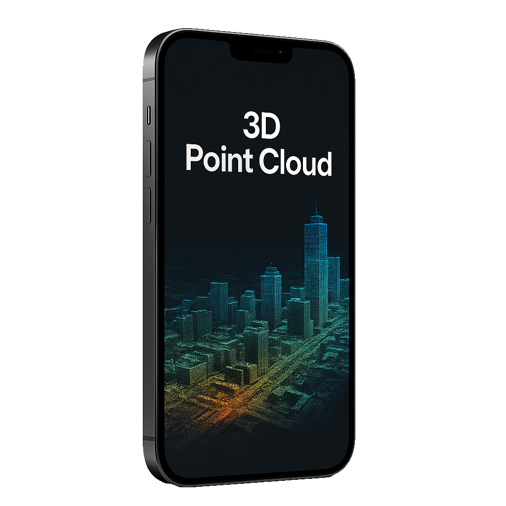
3D Point Cloud is a collection of data points in a three-dimensional coordinate system, generated by technologies like LiDAR or laser scanning. It’s used in surveying to accurately map landscapes, buildings, and infrastructure, providing precise measurements for planning and analysis.
The accuracy of 3D Point Cloud data depends on the technology used and the quality of the equipment. Typically, with advanced LiDAR systems, the accuracy can reach millimeter levels, ensuring high precision for engineering and construction projects.
Yes, with the right applications and platforms, you can view and interact with 3D Point Cloud data directly on your mobile device, making it easier to analyze data on-site and in real-time.
Projects in surveying, construction, architecture, and urban planning all benefit from 3D Point Cloud technology, offering detailed, accurate representations of physical spaces for analysis, design, and monitoring.
To get started, you’ll need access to LiDAR scanning equipment or 3D mapping tools, as well as software to process the data. We offer training and consultation services to guide you through the setup and integration process
Trusted Bootcamp Since
Lorem ipsum dolor sit amet, consectetur adipiscing elit, sed do eiusmod tempor incididunt ut labore et dolore.
Successful Digital Careers
Lorem ipsum dolor sit amet, consectetur adipiscing elit. Ut elit tellus, luctus nec ullamcorper mattis, pulvinar dapibus.
Job Opportunities
Lorem ipsum dolor sit amet, consectetur adipiscing elit, sed do eiusmod tempor incididunt ut labore et dolore.
Our Bootcamp Programs
A comprehensive program covering the fundamentals and advanced techniques in geomatics, including LiDAR, drone mapping, and 3D modeling. Participants will gain hands-on experience and become proficient in processing spatial data for real-world applications.
We offer specialized training, consultancy, and technical support in advanced geomatics technologies, including LiDAR, drone surveying, and 3D mapping. Our services help professionals enhance efficiency, accuracy, and decision-making in spatial data analysis and project execution.